Defensible space · 7 min read
Defensible Space in Mariposa County: 30-Foot and 100-Foot Cleanup Basics
How rural homeowners should think about 30-foot and 100-foot defensible-space prep, ladder fuels, and photo-based quote review.
What matters first
- The first 30 feet around structures usually deserves the closest review.
- The larger 100-foot area often includes brush, weeds, ladder fuels, and access paths.
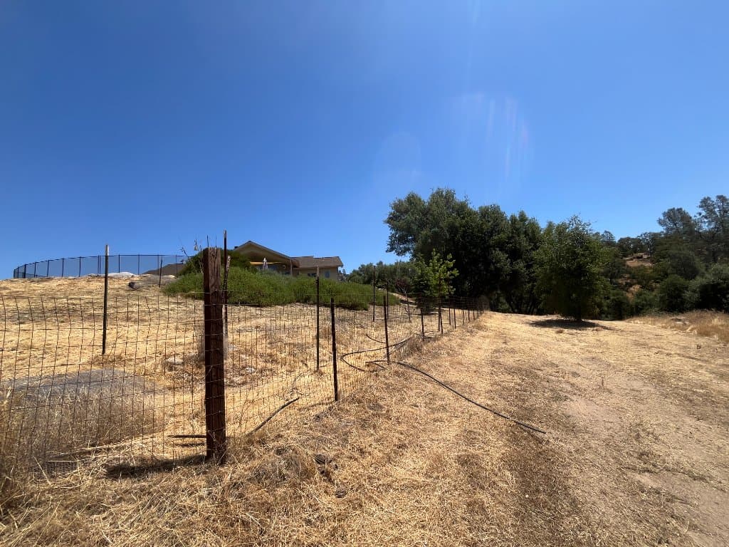
- Photos should show structures, slopes, gates, driveways, and vegetation density.
- Satellite review is useful context, not legal boundary proof.
The first zone is about structure-adjacent risk
When homeowners ask about defensible space, the practical first question is what surrounds the home and outbuildings. Dry weeds, brush, low limbs, stored debris, and overgrown access can change the scope quickly.
A photo-based review should include every side of the structure, nearby trees, driveway access, tanks, sheds, fences, and any steep or hard-to-reach areas.
The wider zone is where scope can grow
Beyond the immediate structure area, the job may shift into brush clearing, access cleanup, fuel reduction, chipping, hauling, or seasonal maintenance. That is where photos and acreage notes help prevent under-scoping.
If there is a notice, inspection deadline, or insurance concern, mention it early so the estimator can prioritize the correct cleanup path.
How to request a faster estimate
Start with the property address, upload photos, and call (209) 222-8653 if the deadline is urgent.
The more clearly you show access, slope, vegetation density, and structure proximity, the faster the estimator can decide whether a quote can move forward from photos or needs a site visit.
Common questions
Do I need both 30-foot and 100-foot cleanup?
It depends on the property, structures, vegetation, deadline, and requested scope. An estimator review can help decide what is practical.
Can photos show enough for a defensible-space quote?
Photos can start the review and often speed up the next step. Access, slope, density, and hazards may still need closer review.
Does satellite imagery show exact property lines?
No. Satellite imagery helps with context, but it should not be treated as official parcel-boundary proof.